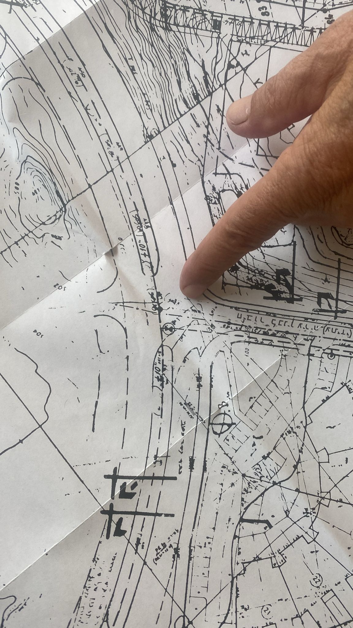


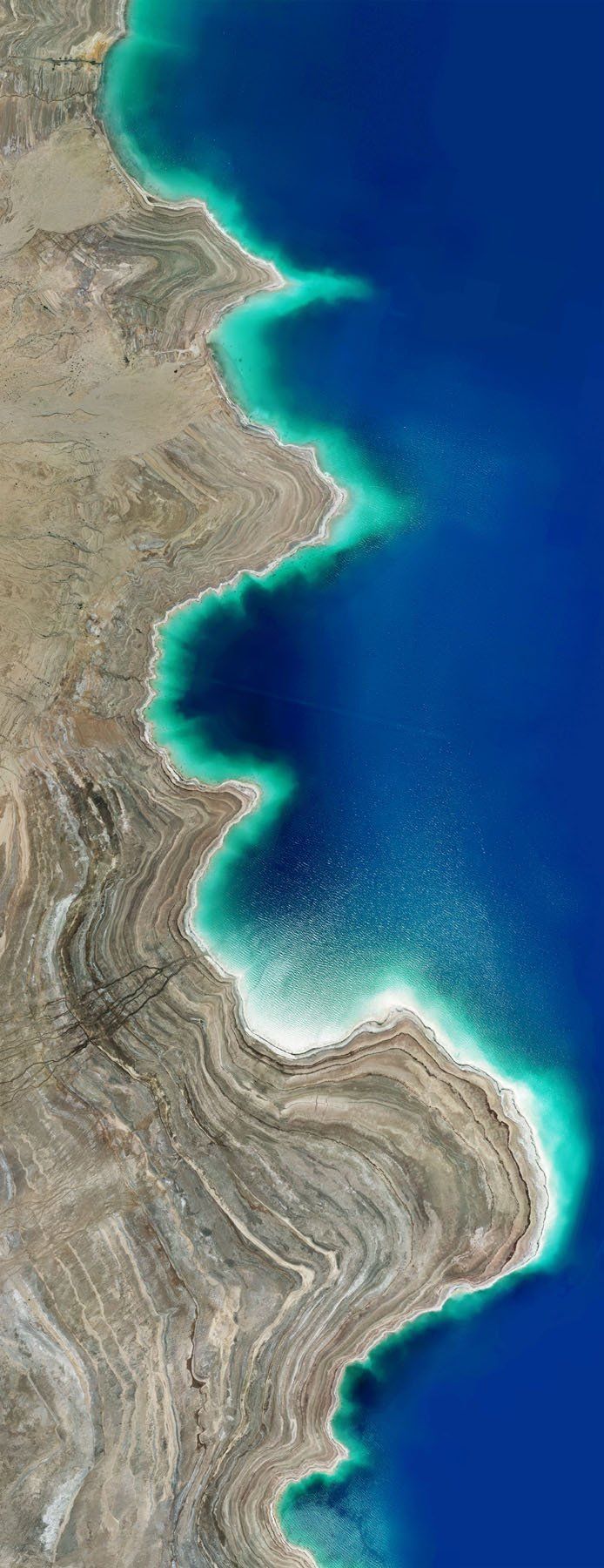
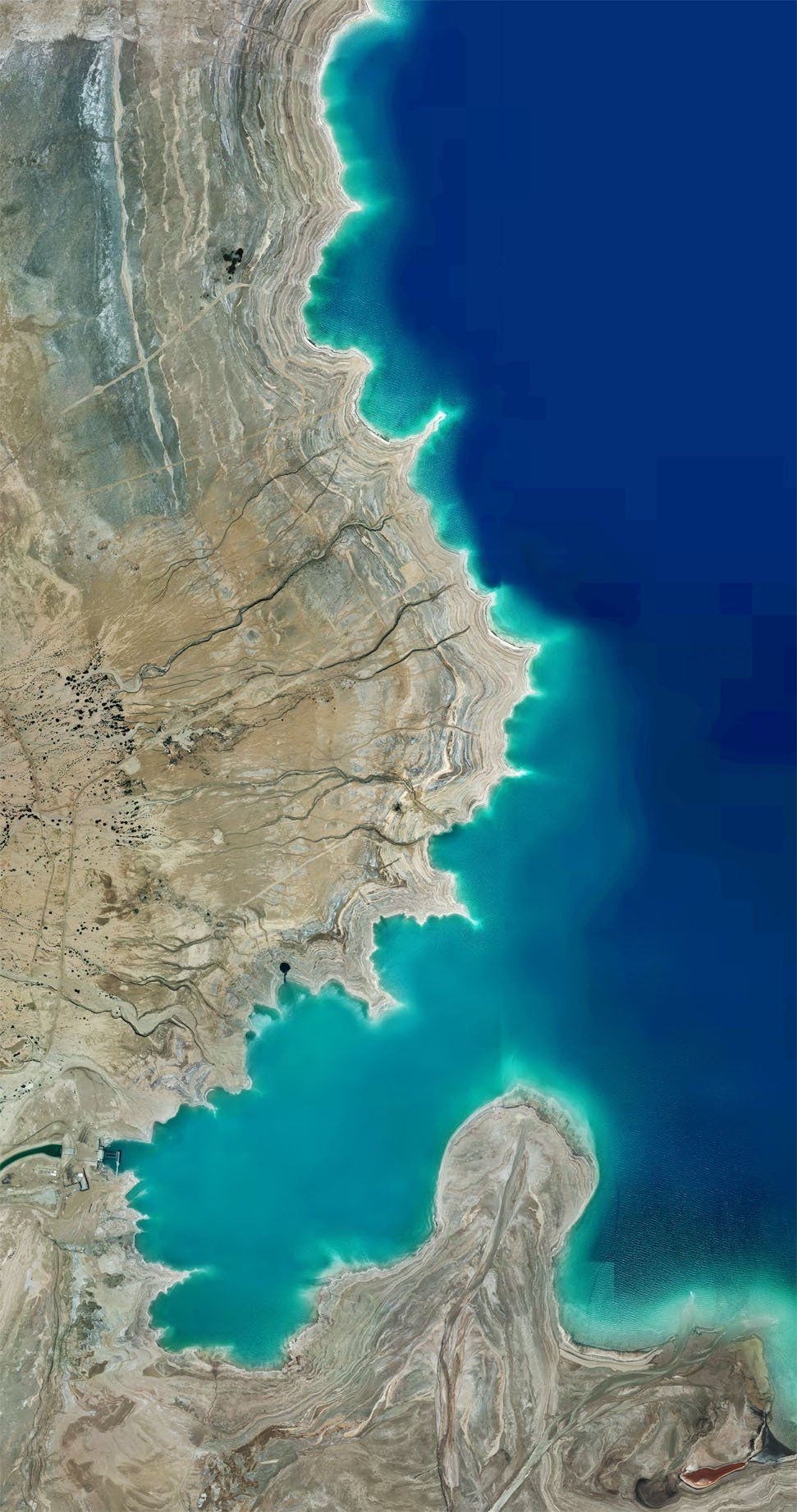
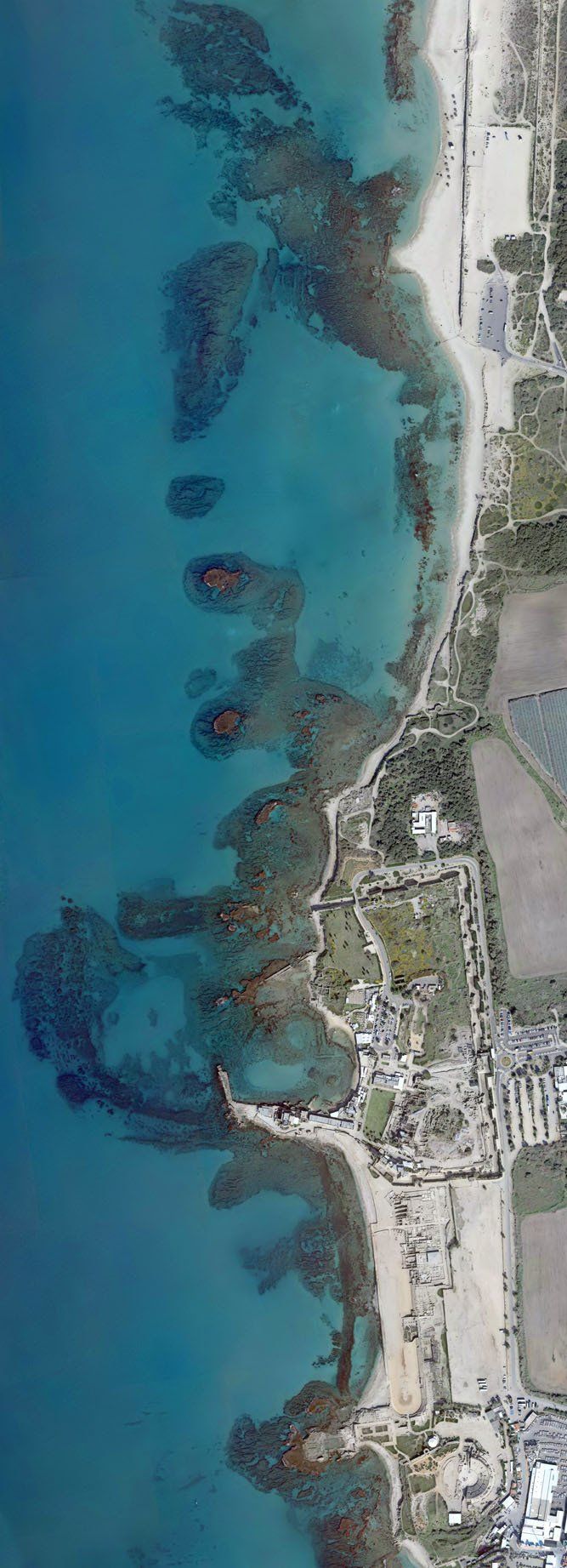
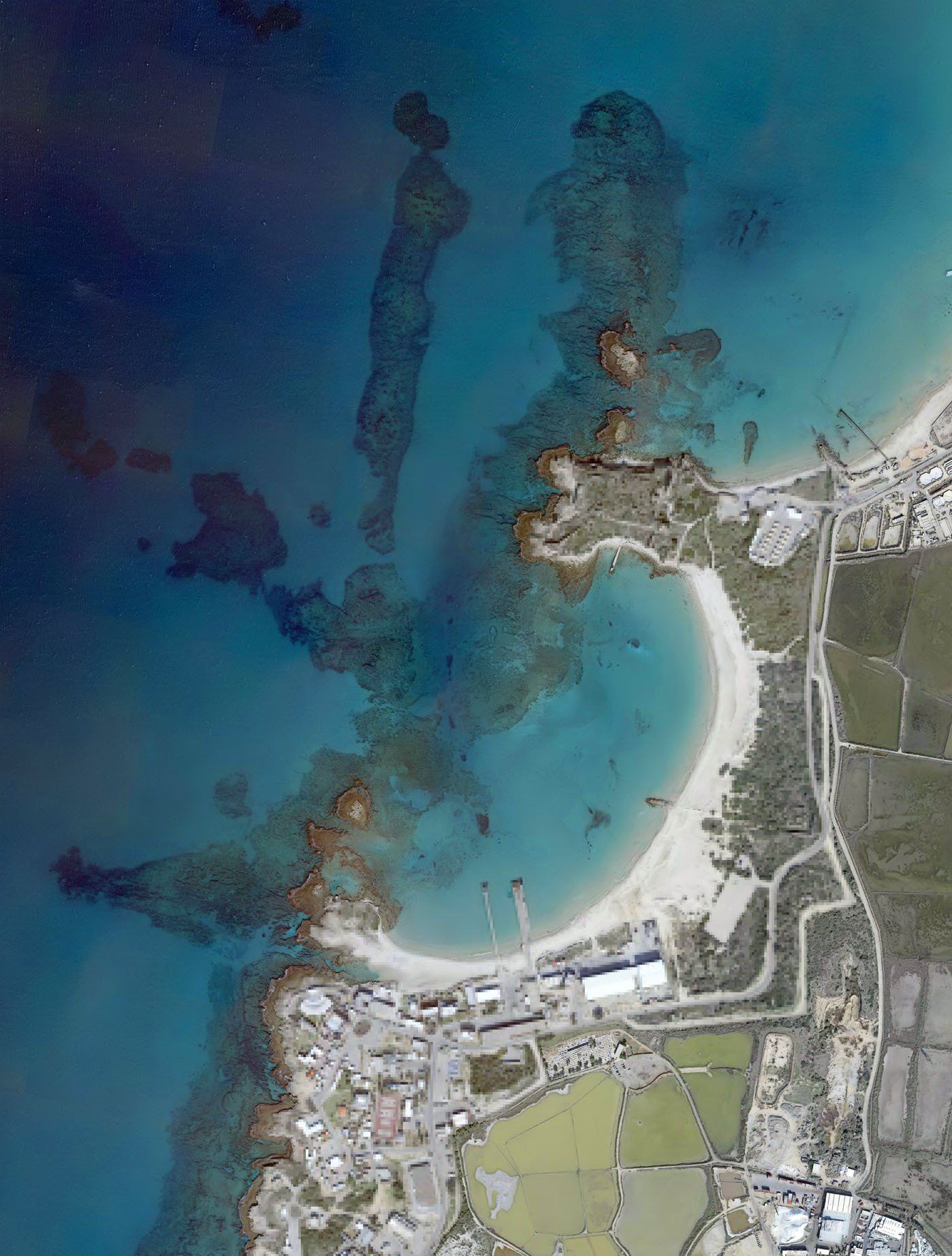
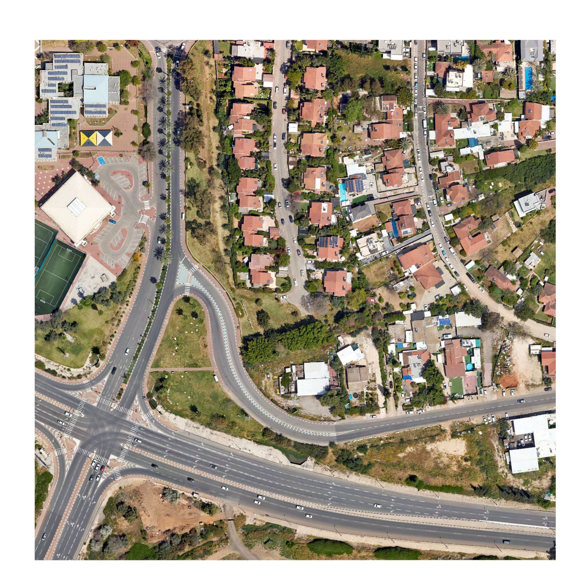
Israeli coast line project 2019
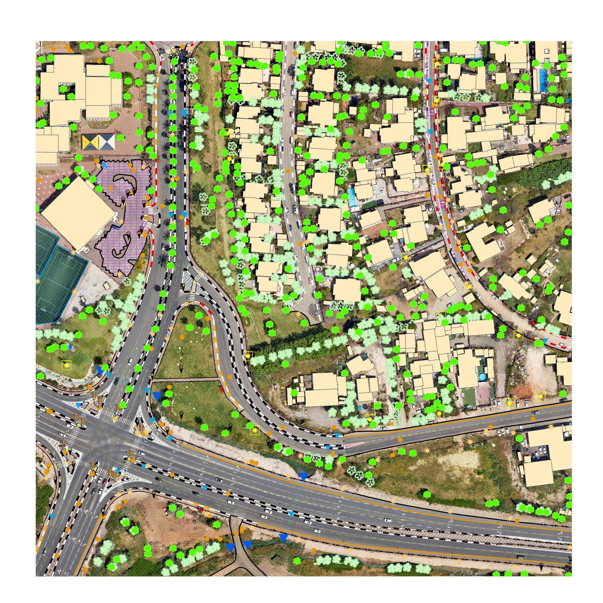
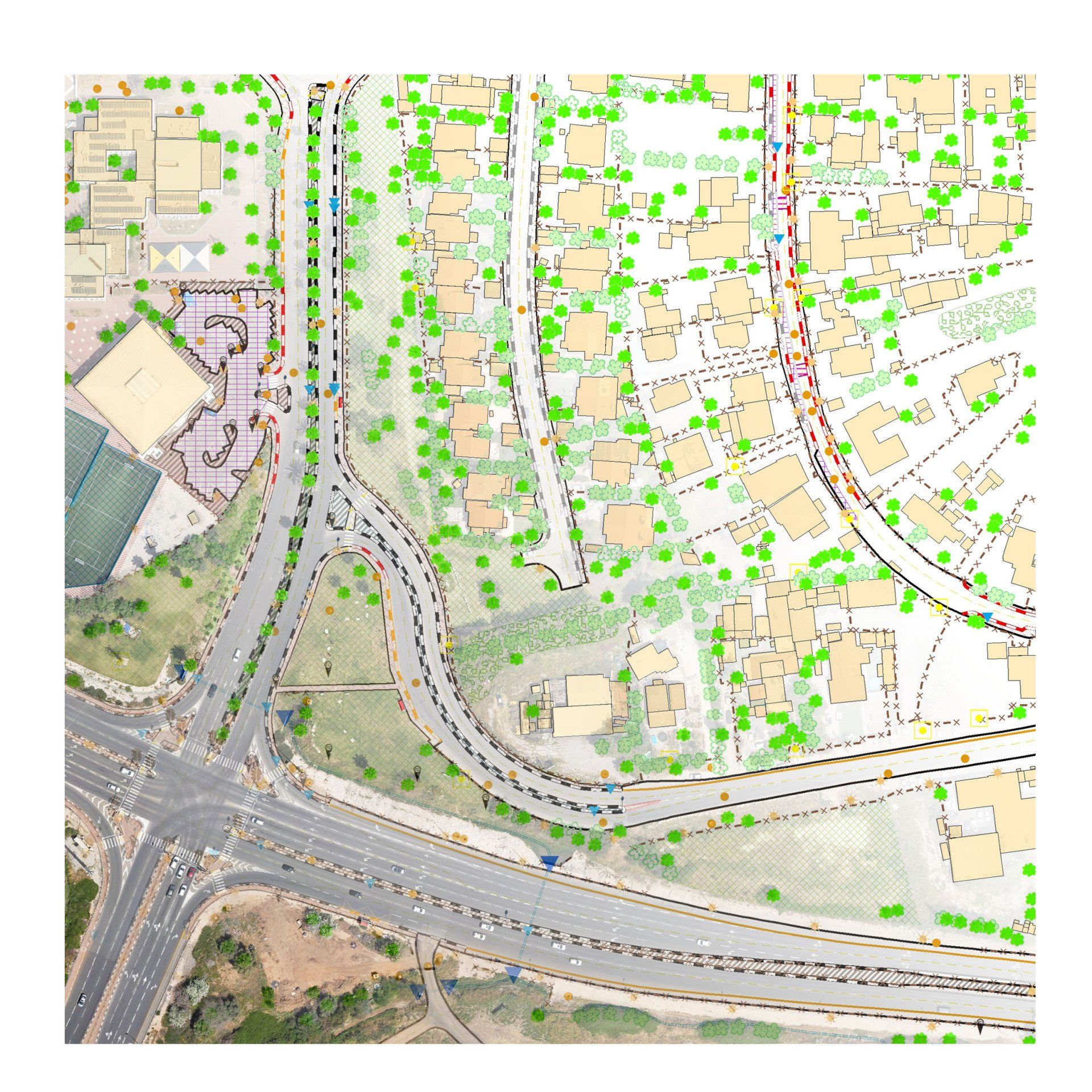
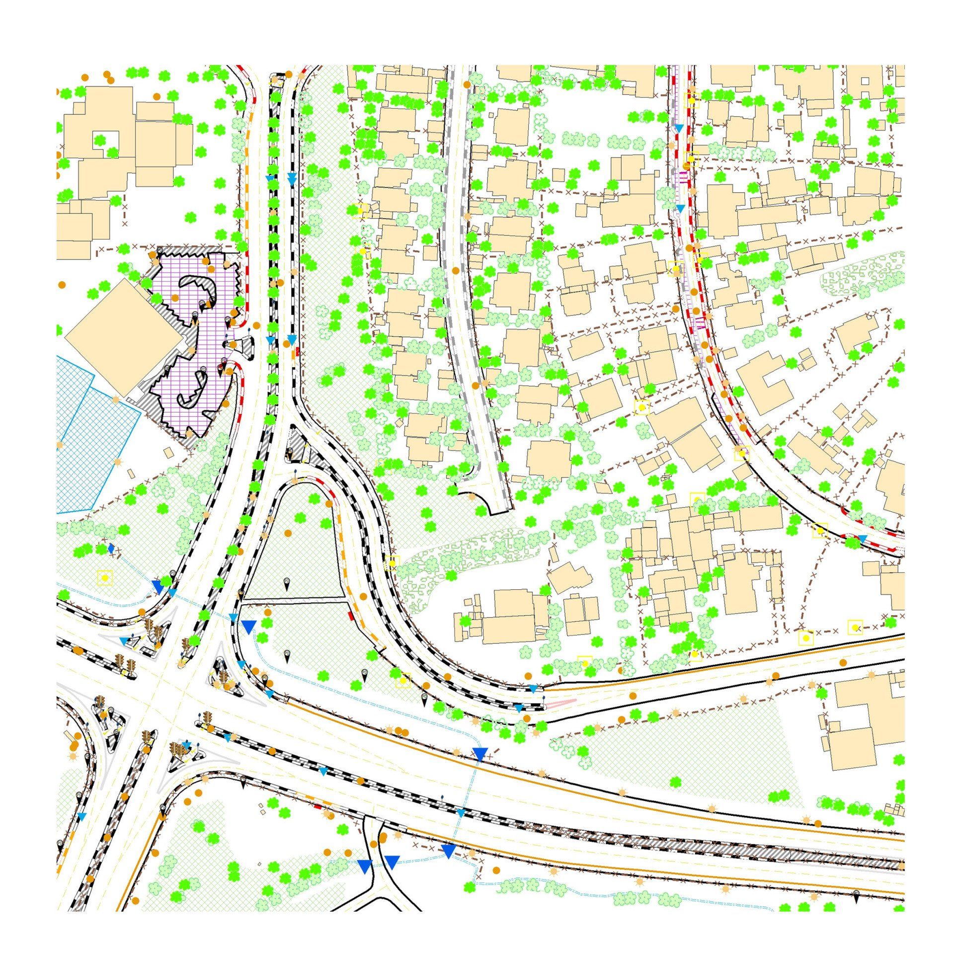
Hazard Surveys
for Safer Cities
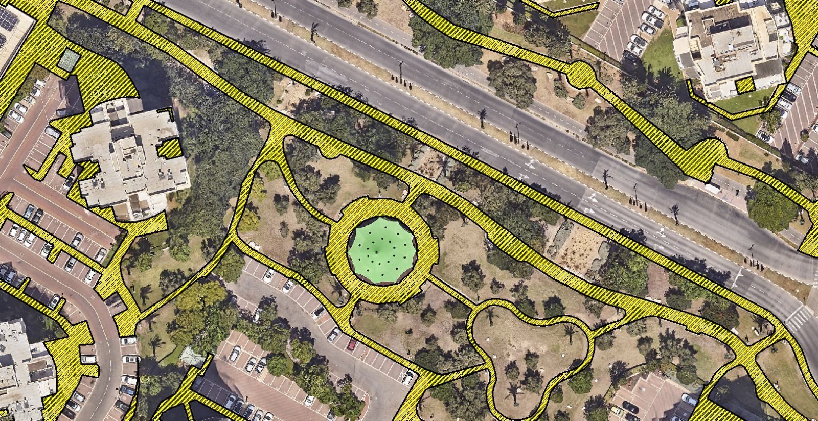
At HAMMER GIS, we conduct comprehensive Hazard Surveys designed to help municipalities identify, document, and manage potential safety risks in their urban environment. Our expert teams use advanced GIS tools, street-level imagery, and accurate field data collection to map hazards such as damaged infrastructure, visibility obstructions, accessibility barriers, and more.
With precise geolocation and detailed reporting, our surveys provide decision-makers with actionable insights to prioritize repairs, improve public safety, and reduce liability risks. Whether it's for sidewalks, signage, utility infrastructure, or emergency response planning — we deliver reliable, map-based data that supports proactive municipal management.

Safer cities start with better data — let us help you map the risks before they become incidents.
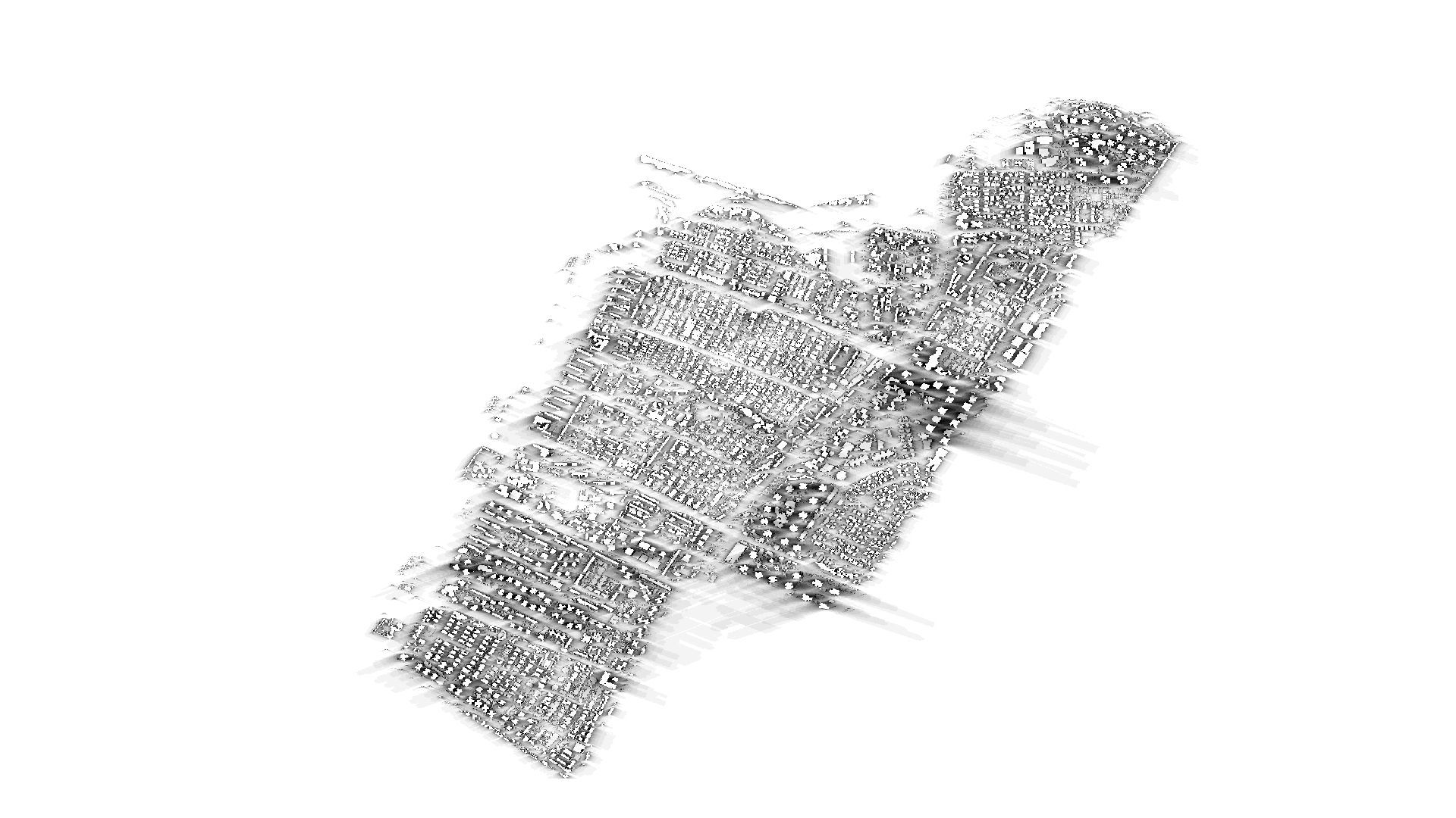
OrthoGraphic Mapping and Surveying
Get all the GIS layers you need quickly and efficiently.

Emergency System
Urban Heat Island
GIS
Public Assets System
GIS Cemetery
GIS System
Traffic Sign Survey